
Geolantis.360 Sets a New Benchmark for Utility Mapping in the UK
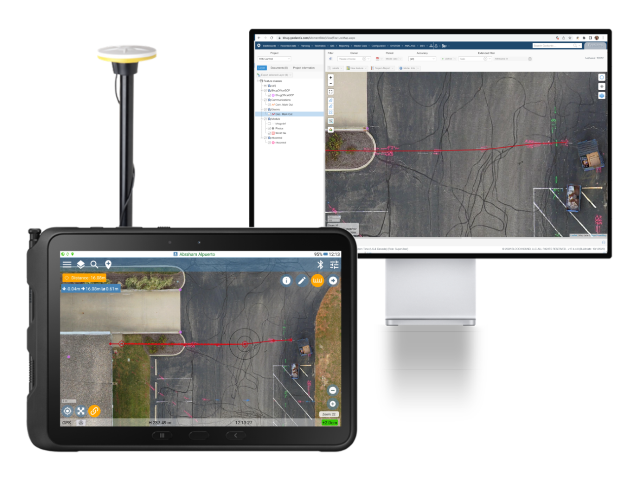
Geolantis.360 is revolutionising utility mapping in the UK by turning standard mobile devices into powerful tools for capturing, recording, and visualising infrastructure data with unmatched speed and accuracy. Leveraging advanced RTK GNSS technology, the software delivers centimetre-level precision in mapping buried utilities like cables, pipes, ducts, and drainage systems. It streamlines operations, enhances field safety, and generates enriched metadata, including type, depth, and material, enabling utility professionals to work smarter and more securely.
Companies like Phoenix Utilities and Terra97 are already harnessing Geolantis. 360's capabilities for their utility mapping projects, observing significant efficiency and data precision improvements.
"We save 30–60 minutes per day per technician using Geolantis.360. With seven technicians in the field, our savings are considerable,"said one satisfied user, highlighting the software's time and cost-saving benefits.
Transformative Features Designed for Industry Excellence
Geolantis.360 offers seamless integration with its vendor-agnostic design, allowing it to work effortlessly with leading GNSS antennas and EM locators while eliminating the need for outdated tools like paper maps and total stations. Its reliable offline capability enhances productivity in remote and urban areas by synchronising collected data once a network connection is re-established. By reducing post-processing time by up to 80%, teams can quickly create and share accurate as-built plans, improving communication and minimising errors. The software boosts situational awareness by 75% and enhances data quality by 90%, providing insights into utility systems in real-world and map-based environments. Additionally, Geolantis.360 streamlines workflows by centralising data management and integrating data collection, annotations, and sharing into one intuitive system.
Driving Results for UK Utility Projects
Geolantis.360 empowers utility professionals by eliminating traditional bottlenecks associated with paper-based workflows and legacy tools. Its ability to annotate and visualise data in real-time simplifies even the most complex tasks, offering an 85% reduction in project cost potential.
"With the support of forward-thinking customers like Phoenix Utilities and Terra97, Geolantis.360 is proving to be a game changer for utility mapping professionals,"said a company spokesperson.
To learn more, visit our website: www.geolantis.com