
Confined Space Drone Inspection
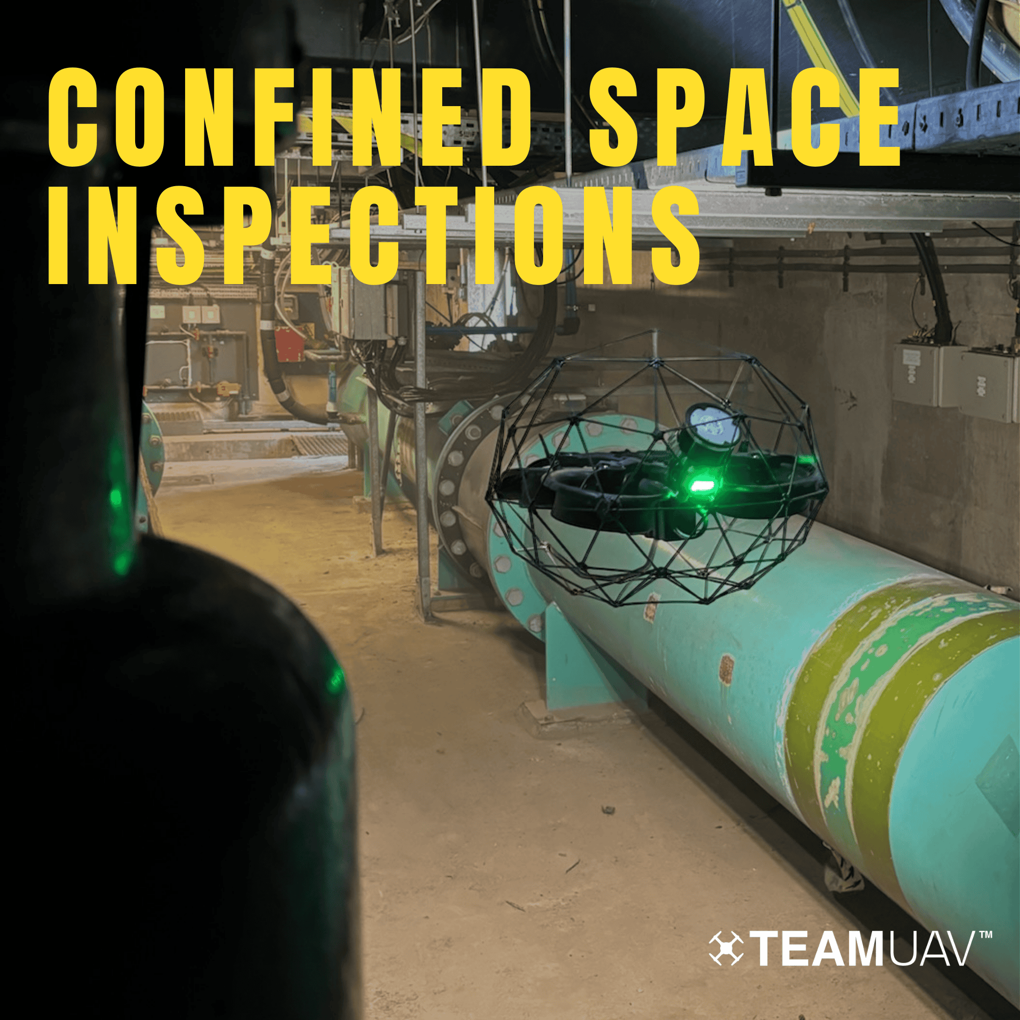
At Team UAV, we utilise advanced technology, including LiDAR and 4K ultra-high-definition sensors, to revolutionise confined space inspections. Our comprehensive approach ensures accurate point cloud generation, providing detailed digital twin maps of your specific confined spaces or assets.
Advanced Technology Integration: In every confined space inspection, we harness the power of cutting-edge technology. LiDAR and 4K ultra-high-definition sensors enable us to capture precise data, facilitating the creation of accurate point clouds. This digital mapping serves as the cornerstone of our service, allowing for the precise identification of faults detected in video footage.
Seamless Synergy Between Data Sets: The synergy between video data and point cloud data is seamless, offering unparalleled insights into asset condition. With our integrated approach, you can pinpoint your exact location on the map while viewing video footage and vice versa. Manipulating the point cloud across various axes provides a comprehensive understanding of the asset's position and surroundings, enhancing problem-solving capabilities.
Enhanced Problem-Solving Capabilities: A better assessment of your asset leads to quicker issue identification and reduced downtime, resulting in significant cost savings. Our LiDAR technology is capable of generating survey-grade point clouds, enabling accurate measurements of structural elements, volumes, areas, and even the depth or length of cracks.
Minimised Downtime and Reduced Risks: By opting for our drone confined space inspections, you benefit from minimised downtime, reduced risks associated with manual inspections, and unmatched precision that traditional methods or crawlers cannot match. Our streamlined approach to asset management is straightforward, cost-effective, and easy to implement, making Team UAV the preferred choice for your confined space inspection needs.