
Utility Mapping Surveys – PAS 128
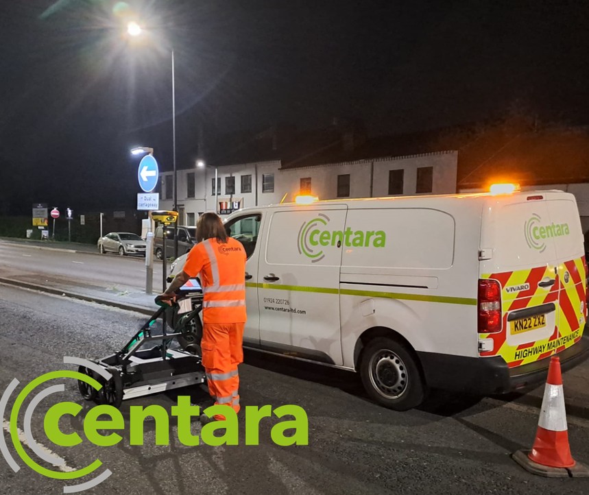
Centara has an impressive history of providing accurate underground utility mapping surveys. We conduct surveys using precision electromagnetic location (EML) locating equipment and ground penetrating radar (GPR) systems from industry-leading manufacturers, including SPX, GSSI and IDS.
We have some of the most experienced and skilled utility mapping surveyors in the industry, with upwards of 30 years’ experience in GPR, utility location and mapping. Members of the team hold QCF qualifications in utility mapping and are members of The Survey Association and The European GPR Association. Our surveys contain accurate depth and location data for electric cables, water pipes, drainage pipes, telecom cables and ducts. We use high-accuracy Leica and Trimble GPS and total station survey instruments referenced to Ordnance Survey coordinates or your project grid.
As part of our standard package, we conduct a 100% coverage sweep with GPR and EML locators to ensure uncharted services are located and mapped. We use radiosondes in drainage networks to ascertain accurate line and level data and we record cover and invert levels, record pipe sizes, usage and direction of flow data. GPR data is generally interpreted in mark-out mode; however, we can carry out post-site processing of GPR data if your specification requires. Your final drawings will be presented as an easy-to-interpret CAD drawing (2D or 3D) in PDF format. It will contain detailed explanatory notes. Our standard surveys exceed the accuracies detailed in the BSI PAS 128 standard.