MGISS

Stand: P84

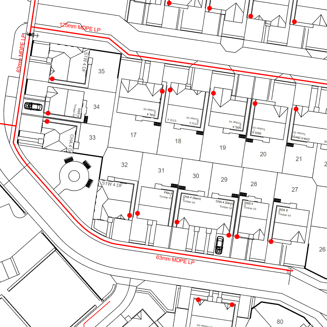
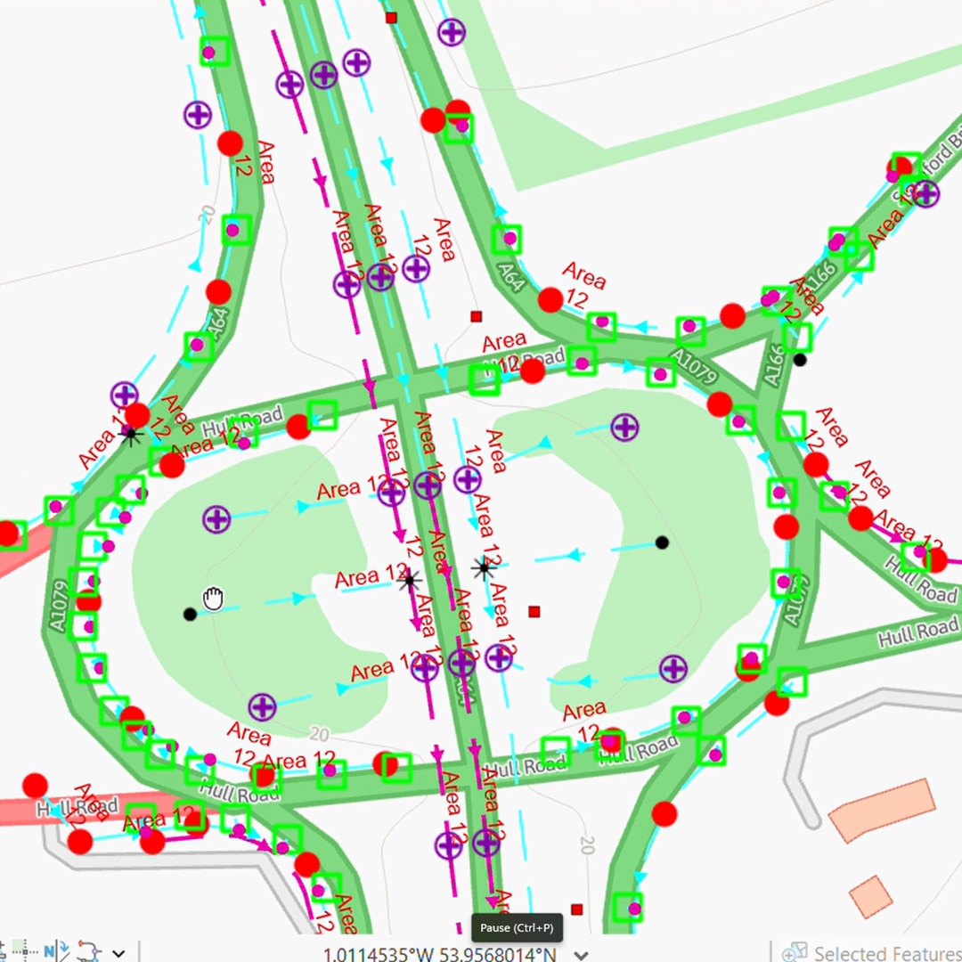
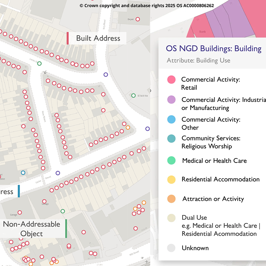
MGISS is an independent geospatial partner helping infrastructure owners and project

teams use GIS to improve data quality and operational insight. We combine consultancy, high-accuracy as-laid capture, cloud GIS and dashboards, constraints analysis (incl. BNG) and alerting, reducing strikes and outages while building sustainable, resilient services.

Products

CADTransform for ArcGIS
A plug-in for ArcGIS which rapidly transforms CAD layers to an ArcGIS feature class or feature layer in ArcGIS Online or ArcGIS EnterpriseCADTransform by MGISS is a plug-in for Esri ArcGIS Pro that tr …
Skadi Series GNSS Receivers
The most accurate, productive, flexible GNSS receivers yet!Skadi 100™ GNSS ReceiverFor submeter field workThis entry-level device from the Skadi Series™ is the most affordable option; a single-frequen …
GDMS for Highways for ArcGIS
Stop paying twice for the same data.The reality of GDMS compliance: You need to survey every drainage asset to cm-level accuracy with 90+ attributes per asset (that’s 90+ spreadsheet columns for EVERY …
GIS Consultancy
We help you maximise your return on investment from GIS and geospatial technology, enabling better decision-making and insight across your organisation, from your customers and service users, via your …
OS Data Insight and Services for GIS & CAD
At MGISS, we believe the real value of OS NGD lies in what you can do with it when you connect it to the data your organisation already holds. Internal asset registers, customer databases, maintenance …
5 Results

    Press Release

    MGISS Achieves Esri Gold Partner Status
    MGISS, an independent UK geospatial consultancy and ArcGIS enablement partner for utilities, infrastructure and local government, today announced it has elevated to Esri Gold Partner as part of the Es …
    1 Results
      Loading