)
)
CADTransform for ArcGIS
A plug-in for ArcGIS which rapidly transforms CAD layers to an ArcGIS feature class or feature layer in ArcGIS Online or ArcGIS Enterprise
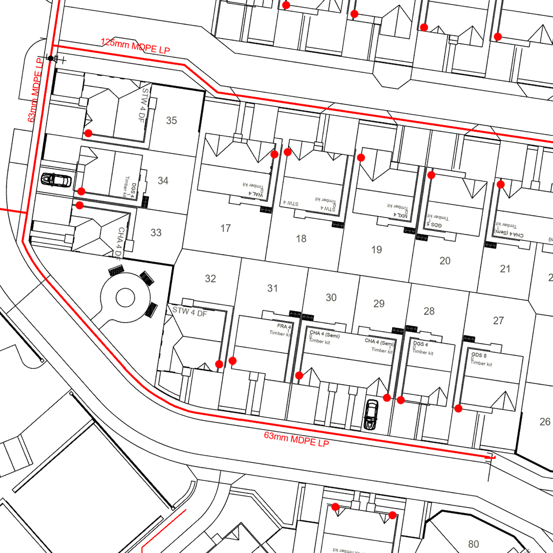
CADTransform by MGISS is a plug-in for Esri ArcGIS Pro that transforms CAD drawings (DWG/DGN) into ArcGIS-ready formats in minutes, not hours. Whether you’re managing utility networks, construction projects, or infrastructure assets, CADTransform eliminates the time-consuming, error-prone process of converting and styling CAD data.
Why use CADTransform?
- Transform: Rapidly convert CAD (DWG/DGN) to ArcGIS Feature Class with automated geometry validation
- Spatial Reference: Detect spatial reference from CAD or manually specify
- Style: Retain CAD layer colours, line styling, and symbology, with in-built stringent validation, eliminating hours of manual re-styling in GIS
- Filter & Cleanse: Select only the CAD layers you need, reducing map clutter and ArcGIS Online storage costs. Remove unnecessary attribute fields to streamline workflows
- Organise: Split CAD layers into individual GIS layers, so you can turn layers on/off efficiently without complex query definitions (IMPROVED)
- Publish: Export directly to
- local File Geodatabase (NEW FEATURE),
- ArcGIS Online Feature Layers (IMPROVED),
- or Vector Tile Layers (NEW)
- Share instantly with your organisation and external groups
- Save Credits: Publish detailed site drawings as Vector Tile basemap or additional layer to massively reduce ArcGIS Online credit consumption compared to feature layers (NEW)
Ready to transform your CAD workflow?
CADTransform is available as a 12-month single-user license for £739.20 + VAT (annual license).