Drone Mapping & Modelling
Drone Mapping & Modelling
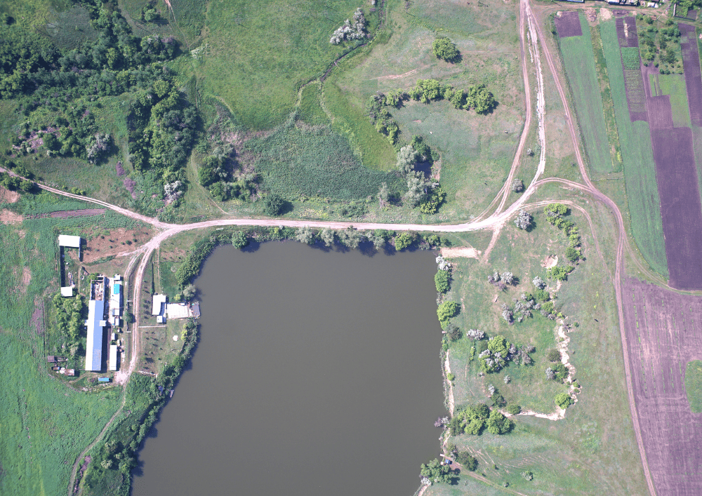
Our outputs include 2D Orthomosaic Maps, 3D Point Clouds, Digital Surface Models (DSM) and Digital Terrain Models (DTM).
Our Drone Mapping and Modelling service uses advanced photogrammetry techniques to collect hundreds or thousands of high-resolution images, which are then stitched together to provides high-resolution aerial imagery and 3D models for a variety of applications. These range from site surveys and construction monitoring to environmental assessments and disaster management. Utilising advanced drone technology, we offer precise, real-time data that allows for accurate mapping, volumetric analysis, and topographic modeling.