)
)
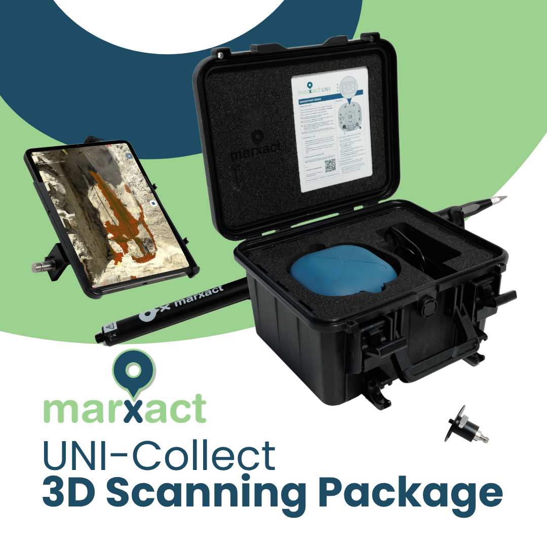
UNI-Collect 3D Scanning Package
Survey your own as-builts
Survey trenches, roads, cables, plots of land and more – with centimetre accuracy. Easily mark the exact positions directly on-site through points, lines or surfaces, including height. Stake-outs are just as simple: select a point on the map and follow the directions straight to the location. Always in your local coordinate system and with survey quality.
From reality to 3D model
Capture open trenches, surroundings, and infrastructure in 3D with LiDAR. Generate detailed, georeferenced scans directly on-site, linked to your survey project. Add photos for inspection, handover and proof of work, then instantly share all data via the UNI-Cloud.