)
)
UNI-Collect Survey Package
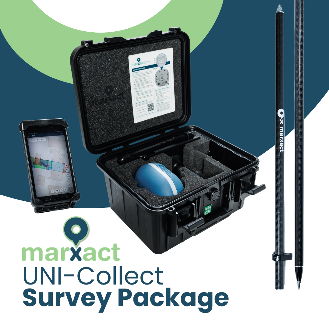
Survey and set out yourself
Measure trenches, roads, utilities and plots with centimetre-level accuracy. Record exact positions directly on site using points, lines or surfaces, including elevation data.
Easily select points on the map and follow the
on-screen guidance straight to the correct location.
Work directly in precise X, Y and Z coordinates for reliable positioning in your project coordinate system.
Deliver work without delays
By carrying out digital surveying yourself, you decide when work is measured, delivered and invoiced.
Your as-built data is available immediately after surveying — no need to wait for external surveyors. Share results with your client the same day and invoice straight away.